Light Detection and Ranging (LiDAR)
Visualising our network
We use Light Detection and Ranging (LiDAR) technology to capture data that forms 3D images of our network. This helps us better serve our communities while maintaining a safe and reliable network.
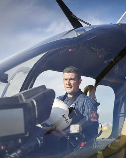
LiDAR is a remote sensing method that uses hundreds of pulsed lasers to measure the distance to the ground, usually from a helicopter or fixed wing aircraft. Our helicopters fly just over 300m above powerlines at a speed of about 130km.
Currently, LiDAR is mostly used for vegetation management across our entire network, especially in high bushfire risk areas. The data is used to identify vegetation intruding into our network and helps us to prioritise what needs to be cut over the short and long term.
Flights take place each year, capturing new data and giving us new information about local growth rates and environmental conditions in a particular area. The data can be used to create an accurate digital model of the electricity network and its surroundings – and helps make sure we know which trees to cut, by how much and when.
LiDAR also is being used for other applications to help us meet regulatory requirements, including measuring the distance between conductors on multi-circuit spans and pole structures to identify potential clearance infringements.
Aerial inspections


